
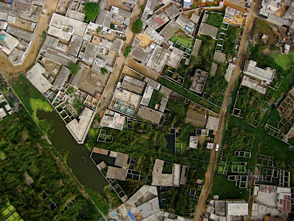
Flood Risk & Climate Vulnerability — Pikine, Dakar
Individual two-semester research project (2025–2026, grade A-minus) on topography, land use and socio-economic flood vulnerability in Pikine, framed through resilience and spatial justice.
ImpactSecured data access through a local agency in Dakar when initial sources failed. Relocated the study area after administrative redistricting invalidated the original site, documenting the pivot as a research finding.
Research focus
Examined flood risk in an exposed urban area by relating terrain, rainfall, changing land use, informal settlements and socio-economic conditions.
Method & spatial analysis
Built QGIS analysis using flood zones, buildings, roads, hydrography, topography and land-use layers. Overlaid risk zones against building stock to show exposure in already inhabited and serviced areas, and traced land-use change in 1966, 1986, 2003 and 2013 as a driver of risk.
Data access & study-area adaptation
When planned sources did not provide the data, I established access through a local agency in Dakar. Administrative redistricting then invalidated the initial site; I moved the study area and documented that constraint and pivot rather than obscuring the change.
Comparative cases & recommendations
Developed prioritized recommendations across three horizons, from drainage maintenance to embedding flood risk in planning instruments, informed by three comparative city cases.